Boundary Stream Mainland Island Nature Restoration Project
 One of the Department of Conservation’s showcase areas. Boundary Stream Mainland Island has a diverse range of habitats for native wildlife as reflected in the wide range of plants, animals and interesting invertebrates.
Aim
Recreate conditions found in pre-human times such as no animal or plant pests, intact ecosystems and the presence of rare species.
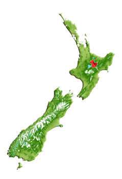
Location
Approximately one hour's drive north of Napier on State Highway 2 to Tutira, then inland on the Pohokura Road.
Area
802 ha made up of 100 ha of private land and the 702 ha Boundary stream Scenic Reserve. It spans and represents an altitudinal sequence from lowland to montane environments.
Organisations involved
The Department of Conservation.
Management history
The restoration poject began in 1996/97. Early control methods included ground hunting and aerial application of 1080 poison. Subsequent control uses poison bait stations to control possums and rodents. Several poisons have been used including cereal based Pindone pellets, Feratox (Cyanide), and a trial of diphacinone in Pestoff 50D cereal pellet baits for the control of rats. Mustelids are targeted with Fenn traps. Conibear traps and Greave’s cage traps are used to control feral cats. Hunters target deer, goats and pigs in and around the reserve.
Access
Boundary Stream Mainland Island is located approximately one hour's drive north of Napier on State Highway 2 to Tutira, then inland on the Pohokura Road from which there are several public walking tracks.